https://www.fs.fed.us/visit/destination/newberry-national-volcanic-monument-0
https://en.wikipedia.org/wiki/Newberry_Volcano
https://tinyurl.com/ybpppd6a Google Maps view of the cinder cone Lava Butte we went to the top of.
https://tinyurl.com/y9rlfek9 Google Maps view of the Newberry Caldera
Some of the photos posted here I took from the Lava Butte and some from the Paulina Peak Observation Site. Reading about the Newberry Volcano tells us the volcano and its lava flows covered an area the size of the state of Rhode Island. In the following photo we are on top of Lava Butte looking in the direction of Newberry Caldera. The center of Lava Butte cone is in the foreground and the dark areas lacking vegetation in the background are lava..

Center of Lava Butte cone with lava flow in background
The next photo looking in the opposite direction shows lava flows extending to the northwest. Mt Bachelor, Broken Top, and the Three Sisters are in the background.

Lava flows extending to the northwest
The following photo shows Highway 97 and the beginning of the road that winds around the cinder cone to the parking lot at the top.

The road to the top of the Lava Butte

The parking lot at the top of Lava Butte

View of Mt Bachelor from the top of Lava Butte
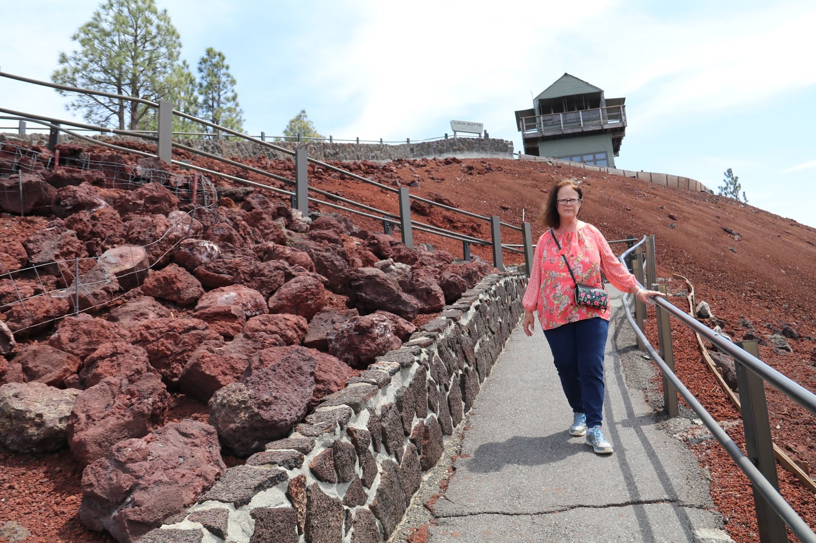
Pam making her way back down to the parking lot

A close look at some of the lava flow at the bottom of the cinder cone
The next two photos are composites taken from the Paulina Observation Site at the top of the Newberry Caldera. The elevation was 7989 feet. The elevation of Paulina Lake down below is 6331 feet. Standing on the rocks at the top rewards you with a 360 degree view of Central Oregon. It is impossible to convey the panorama with photos but that does not keep me from trying. In the next photo Paulina Lake is on the left, East Lake is in the center and the Obsidian Flow extends from the center of the photo to the right. Obsidian is basically glass and nothing grows there.

Paulina Lake, East Lake, and the Obsidian Lava Flow

Panorama looking to the east

The parking lot down below as I stand on the rocks at the peak.
When we were there, I was blown away by the amount of volcanism in that area.
ReplyDelete